How You Can Help
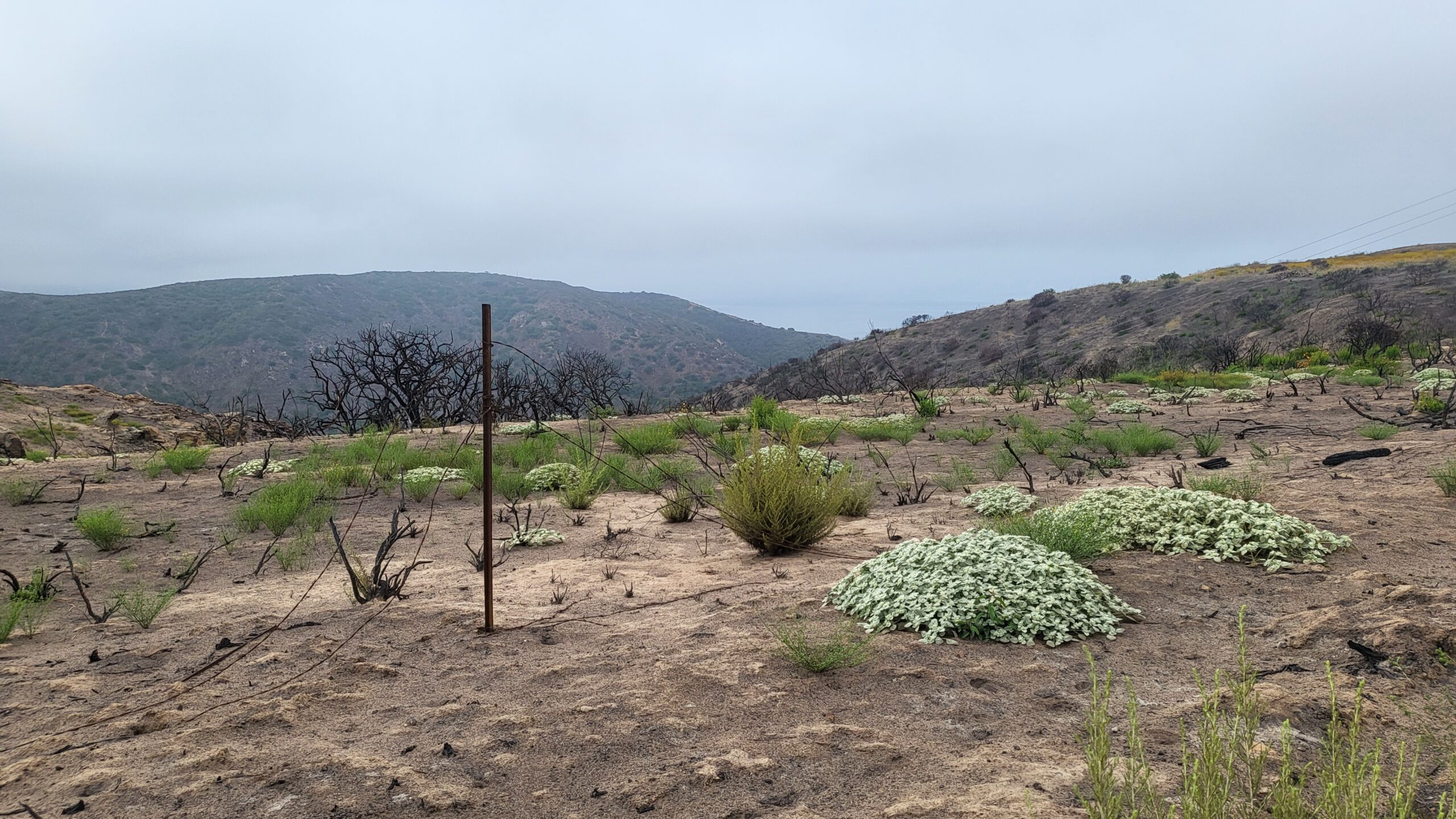
Take a hike! The burn scar borders the Moro Ridge Trail at Crystal Cove State Park. The first site is located near the top of the BFI trail and the second site is located just a quick hike away further down the trail.
- Place your phone in landscape position on the indicated bracket attached to the sign and snap a photo of the scenery. Avoid editing the image and do not zoom in or use filters.
- Post the photo on Twitter with the hashtag designated on the sign.
- See your posts in action as well as other photos from fellow citizen scientists!
- Check back again on your next hike or keep up with the project online.
Photo data will be compiled on a publicly accessible Google Sheets form. To observe habitat recovery over time, blog posts with time lapses will be posted on Crystal Cove Conservancy’s website periodically. In the wake of changing fire regimes and increased risk of habitat loss within the wildland urban interface, your contribution will provide State Parks land managers with invaluable data about vegetation recovery within the Emerald Fire’s burn site post-fire and help conserve local natural resources.


